10:10am Room A - Mapping flood risk from space
Floods affect more people than any other hazard, and the frequency and magnitude of exposure is growing with demographic and climatic changes. Yet the ability to predict and monitor floods from local to global scales remains a challenge and limits access to financial protection for vulnerable populations. The increasing availability, frequency, and spatio-temporal resolution of satellite data provides new opportunities to monitor floods locally and globally. Advances in cloud computing and machine learning techniques enable increasingly accurate flood event monitoring by fusing observations from multiple sensors. I will show how new methods and data enabled by machine learning, and satellites improve our ability to understand and adapt to flood risk from global to local scales. This talk will demonstrate how improved flood observations yield insight into where populations are moving into flood plains, inform decisions to relocate refugee camps, underpin innovative insurance schemes in Bangladesh, and monitor Monsoon floods right here in Pima County!
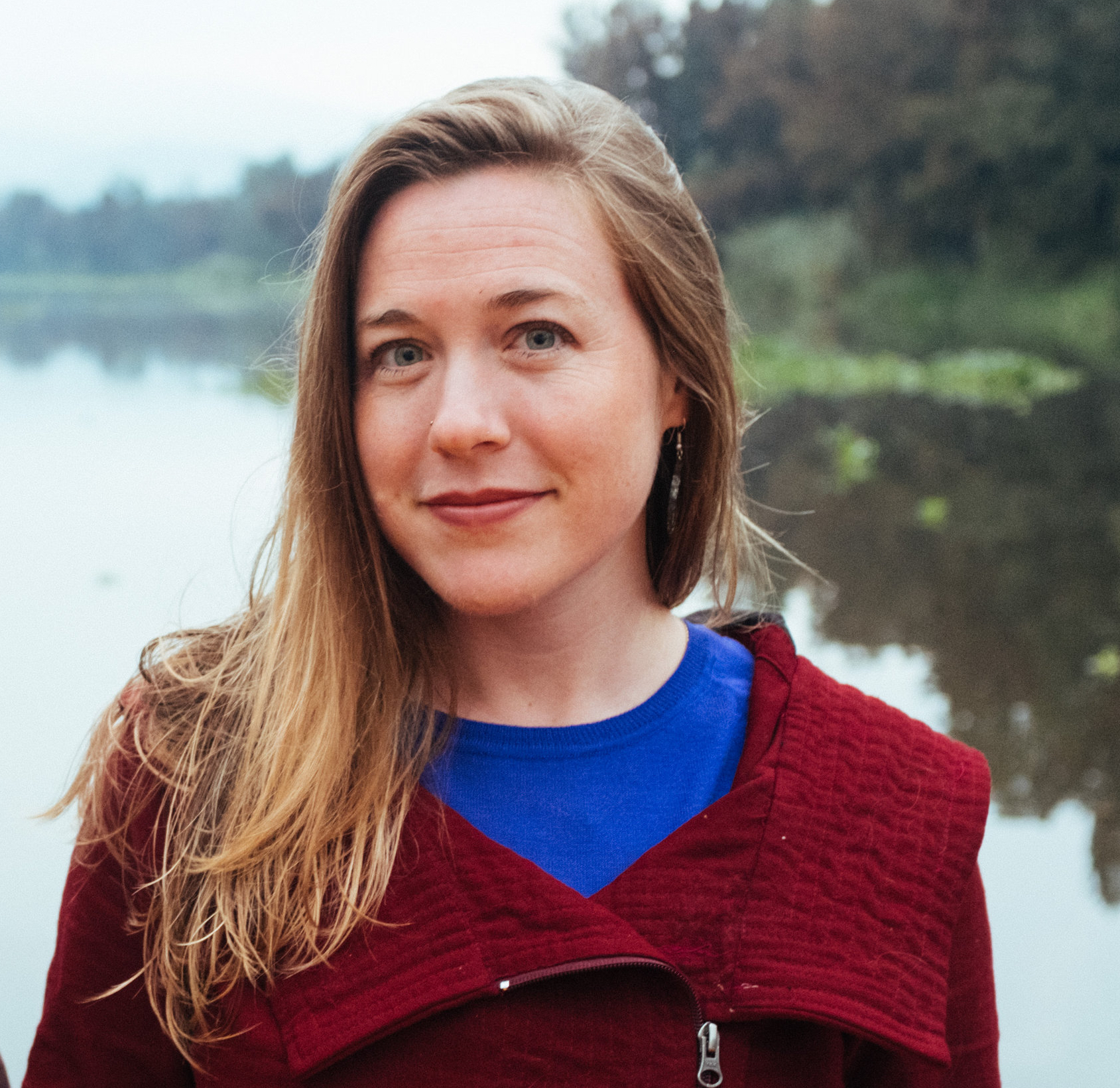
Dr. Beth Tellman |

|
|
|
Assistant Professor |
||
Dr. Beth Tellman is a human-environment geographer whose research addresses the causes and consequences of global environmental change on people, focusing on access to water, flood risk, and land-use change. She engages in multiple disciplines and methods to “socialize the pixel” or understand the social processes behind environmental change captured in satellite image pixels and leverage satellite data to improve human well-being. Beth is an Assistant Professor at the University of Arizona in the School of Geography, Development, and Environment. She is co-founder and Chief Science Officer at Cloud to Street, a public benefit corporation that leverages remote sensing data to build flood monitoring and mapping systems for low- and middle-income countries and insurance companies. Explore her Github page to learn more about her work. Beth received her Ph.D. in Geography (2019) from Arizona State University. She has held fellowships with Echoing Green, Fulbright, and the National Science Foundation.